


Precision Drone Data for Unique Business Insights

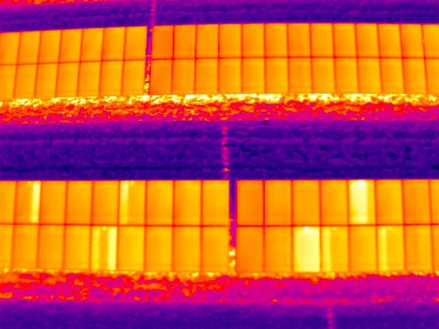
SkySurveyUSA serves Houston and surrounding Harris and Fort Bend Counties with drone services for construction projects. Our offerings include precision mapping, 3D modeling, aggregate volumetrics, and thermal inspections for multi-resident communities. Our drones provide detailed data for construction progress and safety. Rely on our nationwide pilots for quality results. Learn more on our homepage or store.