

Welcome to Sky Survey Precision Aerial Data
Construction Monitoring
Mapping
3D Modeling
High Precision Surveying
Thermal Infrared Inspection
Building and Site Systems Analysis
Volumetrics
Our Services

Construction Monitoring
Ultra high definition photos for project site monitoring. Available options for panorama, video and orthomosaic.

Thermal and RGB Inspection
Roof, solar and structure inspections using the latest thermal infrared technology. Deliverables include full report and analysis.
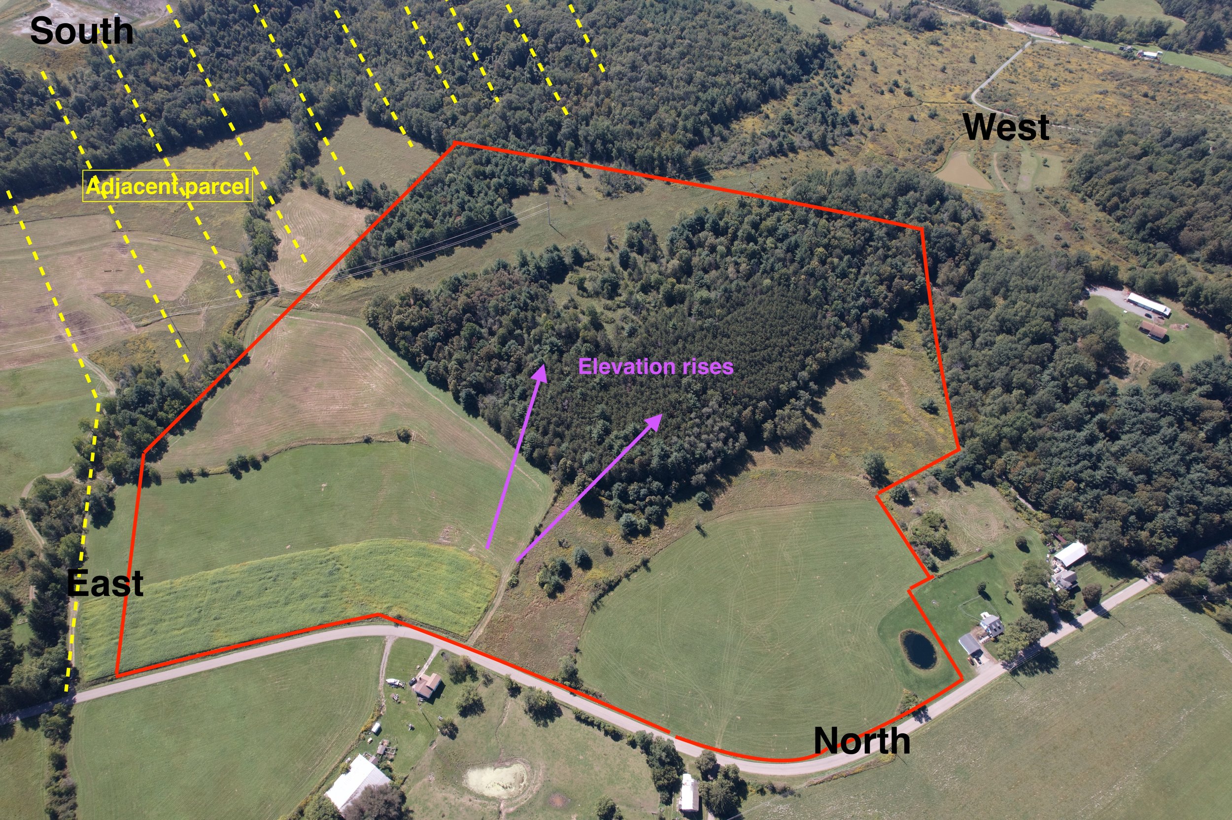
Surveying & Mapping
Land survey, digital terrain models, and high-precision orthophoto using the latest professional drones.
Soaring Solutions: How Drones Transform Construction and Beyond with SkySurveyUSA.com
Drones are reshaping industries like construction, land surveying, agriculture, and search and rescue, and SkySurveyUSA.com is at the forefront of this aerial revolution. Armed with cutting-edge technologies like orthomosaic photos, aerial site inspections, and thermal infrared imaging, their drone services deliver precision, efficiency, and insights that traditional methods can’t match.
In construction, SkySurveyUSA’s drones provide real-time aerial site inspections, offering a comprehensive view of progress, safety, and resource allocation. High-resolution 4K footage and 3D modeling turn raw data into detailed visualizations, helping project managers spot issues early and keep timelines on track. Volumetrics—a key feature—enables accurate measurements of stockpiles or earthworks, saving time and reducing costs compared to manual surveys.
For land surveying and mapping, orthomosaic photos stitch together thousands of images into seamless, georeferenced maps. These ultra-detailed outputs enhance planning for developers and engineers, providing a level of accuracy that boosts decision-making. Meanwhile, in agriculture, thermal infrared imaging assesses crop health by detecting water stress or disease invisible to the naked eye, empowering farmers to optimize yields with targeted interventions.
Beyond commercial use, SkySurveyUSA.com supports critical missions like search and rescue. Thermal-equipped drones scan vast areas quickly, locating missing persons or assessing disaster zones when every second counts. The enhanced data and imagery—whether for mapping rugged terrain or modeling complex sites—elevate operational success.
By blending advanced tech with practical applications, SkySurveyUSA.com transforms how industries operate. From sharper insights to streamlined workflows, their drone solutions prove the sky isn’t just the limit—it’s the starting point.